NLC and weather model output 20160724
Purpose: historical browsing; to see if any correlations show up that might be useful for forecasting NLC
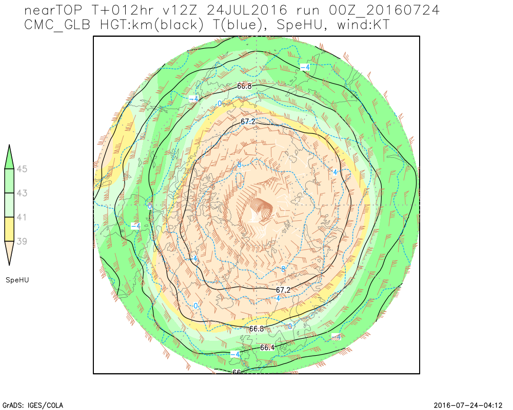
Numerical Weather Prediction (NWP) model is the Canadian Global (GDPS). Values near the top of the model should be
taken with a grain of salt since no decent verification is available.
Notes:
- Daisy image from AIM (typically posted 6 days after)
- Model output is valid at 12 UTC of the day, to match the "middle time" of the daisy
- Model output is the 12hr forecast from 00 UTC
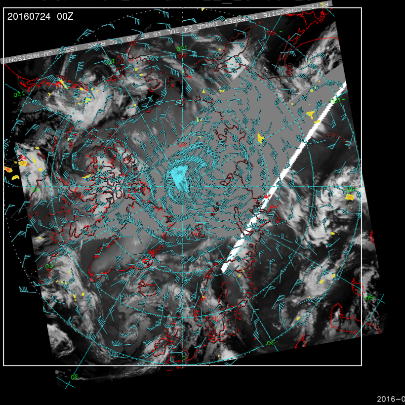
- 11u satellite image and 600mb NWP (winds and vertical velocity) valid 00 UTC at start of the UTC day. The concept is that any tropospheric effects take time to propagate upwards.
Satpix thanks to AMRC, SSEC, UW-Madison (see below for details)
Satellite image retrieved from: http://arctic.ssec.wisc.edu/data/noaa
The authors appreciate the support of the University of Wisconsin-Madison Antarctic Meteorological Research Center for the data set, data display, & information, NSF grant number ARC-0713483 and NOAA/NESDIS PSDI grant NA10NES4400013.


